Keywords
- Steering, project management
- Provider monitoring
- PMO
- Recipe
- PAQ, PAS
- Change management
- Transfer of competence
What’s at stake
The implementation of GIS is no exception to the evolution of IT projects: more technicality and agility. In a rapidly evolving field, project management must bring technological innovation to the project owner. It must adapt to shorter cycles and contribute to the alignment of the GIS with the evolution of the users’ jobs.
In this context, the mission of the Assistant Project Manager secures GIS projects. Arx iT makes the most of its skills in project management assistance and GIS project implementation to ensure assistance missions for project management. This double skill allows to take into account the needs and stakes of the project owner, and to understand the technical issues of the project owner.
For what needs?
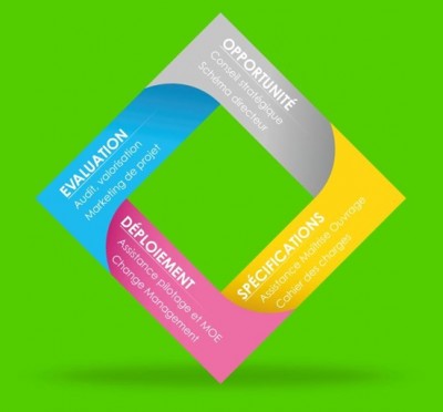
- To ensure the follow-up and control of the GIS project implementation phases,
- Manage resources, schedules and budgets,
- Follow any Quality Assurance Plans and Safety Assurance Plans,
- Carry out the operations of recipe and control of the deliverables (applications, data),
- Design and implement change management plans,
- Designing and monitoring the implementation of training programs.
Method of intervention
arx iT assists its clients in project management assistance in various forms:
- Within the framework of fixed-price contracts
- On the basis of a catalogue of work units
- In providing expertise to a more generalist assistant project manager (particularly in the context of UGAP contracts)
References
- Paris City Hall: expertise and advice on the implementation of the Inspire directive
- TOTAL: project management assistance on various projects
- SNCF RĂŠseau : assistance to the project owner for the Railway Geographical IS Service Centre
- Greater Lyon Metropole: strategic study of GIS evolution
- RhĂ´ne-Alpes Region: audit and GIS master plan, assistance to the project owner for the GeoRhoneAlpes infrastructure
- Aquitaine Region: strategic study for the development of a regional “geographical information” policy
- Sogelink : GIS market study
- GDI (Geographic Data Infrastructure) Grand Dijon: project management assistance for the definition, acquisition, management and innovative uses of a 3D base.
- GeoBourgogne : platform design, assistance in technical databaseâs choice
- PRODIGE 971: design of the GDI (Geographic Data Infrastructure) of Guadeloupe and piloting of its implementation (in partnership with Alkante)
arx iT on social networks